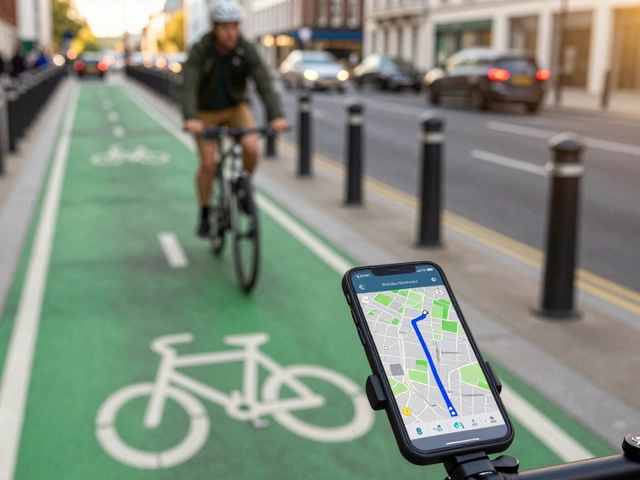
Cycling App Finder
Answer the questions below to find which cycling app (Komoot, Strava, Ride with GPS, or Outdooractive) fits you best.
You know the feeling. You’re halfway through a weekend ride, your legs are burning, and you realize you’ve been following a path that looks more like a goat trail than a bike lane. Or worse, you’re pedaling along a four-lane highway with cars buzzing past at 100 km/h because the map app decided it was the "fastest" route. This happens constantly when you use general-purpose navigation tools for cycling.
While Google Maps is fantastic for driving, its cycling mode often lacks the nuance cyclists actually need. It prioritizes speed over safety and rarely understands the difference between a smooth paved path and a rocky single-track. If you want routes that respect your effort and keep you safe, you need a dedicated tool. The good news? There are several powerful alternatives designed specifically for two wheels. Whether you’re a commuter in Adelaide or an adventure rider tackling the hills, there’s an app out there that fits your style better than the giant search engine ever could.
Why General Navigation Fails Cyclists
Let’s be honest: Google Maps wasn’t built for bikes. Its algorithm is optimized for cars, which means it treats all roads as equal unless marked otherwise. For a driver, a shortcut through a residential street might save two minutes. For a cyclist, that same shortcut could mean dodging parked cars, dealing with steep unmarked driveways, or navigating narrow sidewalks where pedestrians expect you to dismount.
Cyclists have different priorities. We care about surface quality, elevation gain, traffic density, and scenic value. A route that saves ten minutes but involves climbing a brutal hill with no shade might not be worth it on a hot day. Dedicated cycling apps understand these trade-offs. They let you filter out unpaved paths if you’re on a road bike, or highlight dirt trails if you’re on a gravel rig. They also integrate with hardware like heart rate monitors and power meters, something Google Maps simply doesn’t do.
Komoot: The Planner’s Choice
If you love planning long rides before you even get on the saddle, Komoot is likely your best bet. Unlike real-time turn-by-turn apps, Komoot shines in the planning phase. Its interface lets you draw a route on a map, and it automatically suggests segments based on terrain type-forest, field, mountain, or city.
The standout feature here is the surface analysis. Komoot tells you exactly what percentage of your route is asphalt versus gravel or dirt. For a road cyclist, seeing that a "shortcut" includes 30% cobblestones can be a dealbreaker. For a mountain biker, that same stat is an invitation. The app also offers detailed elevation profiles, showing you exactly where the pain will happen. While the free version has limits, the premium subscription unlocks voice navigation that works offline, which is crucial when you’re deep in the bush without cell service.
Strava: Social Routing and Heatmaps
Strava isn’t just a social network for athletes; it’s a massive database of actual human movement. With over 150 million activities logged, Strava uses this data to create "Global Heatmaps." These show you where other cyclists actually ride. Instead of guessing if a quiet backstreet is popular, you can see the bright red lines indicating heavy traffic from other riders.
This crowd-sourced intelligence is incredibly accurate. If a road is closed for construction or has become dangerous due to increased traffic, the heatmap reflects it almost instantly. Strava’s "Segment" feature also gamifies specific stretches of road, encouraging you to ride faster sections. However, Strava’s native navigation has historically been clunky compared to dedicated GPS devices. Recent updates have improved this, offering turn-by-turn directions that sync with your phone’s screen, but it still feels secondary to its core tracking function.
Ride with GPS: Precision for Serious Riders
For those who treat cycling as a serious sport rather than a casual hobby, Ride with GPS offers unmatched precision. This platform allows for detailed route creation using various map layers, including OpenStreetMap (OSM) and satellite imagery. You can fine-tune every turn, ensuring your route avoids stairs or one-way streets that aren’t accessible to bikes.
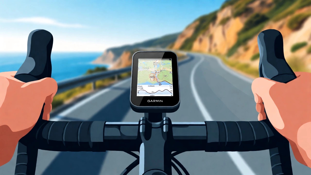
One of the biggest advantages is the ability to export routes directly to Garmin, Wahoo, or Apple Watch devices. Many cyclists prefer riding without holding their phone, relying instead on a handlebar-mounted computer. Ride with GPS bridges that gap seamlessly. The community aspect is strong too; you can search for routes by distance, elevation, or difficulty. If you’re looking for a challenging climb near home, you can find a route created by another local user that matches your exact fitness level.
Outdooractive: Adventure and Outdoor Focus
If your cycling overlaps with hiking or running, Outdooractive provides a comprehensive outdoor ecosystem. It integrates topographic maps, weather forecasts, and safety warnings into one package. This is particularly useful for multi-day tours or off-road adventures where conditions change rapidly.
The app’s strength lies in its integration with smartwatches and outdoor watches. It supports complex route descriptions and points of interest, such as water sources or repair shops, which are vital information on long rural rides. While its interface can feel cluttered compared to simpler apps, the depth of information is unparalleled. For Australian cyclists exploring remote areas, having access to offline topo maps can be a literal lifesaver.

Comparing the Top Contenders
Choosing the right app depends on your riding style. Here’s how the main players stack up against each other.
| Feature | Google Maps | Komoot | Strava | Ride with GPS |
|---|---|---|---|---|
| Primary Strength | General navigation | Terrain & Surface Analysis | Social Proof & Segments | Precision & Export |
| Offline Maps | Limited/Complex | Yes (Premium) | Yes (Premium) | Yes (Premium) |
| Device Sync | No | Garmin/Wahoo | Garmin/Wahoo/Apple | All Major Brands |
| Cost Model | Free | Freemium | Freemium | Freemium |
| Best For | Urban Commuting | Adventure/Touring | Fitness/Social | Training/Racing |
How to Choose Your Perfect App
Don’t try to force one app to do everything. Most successful cyclists use a combination. Use Komoot to plan your weekend adventure because its terrain insights are superior. Then, import that route into Strava or Ride with GPS for the actual ride if you want performance metrics and social sharing.
Consider your device ecosystem. If you live in the Apple universe, check how well these apps integrate with Apple Health and watch complications. Android users might find more flexibility with third-party launchers or widgets. Also, think about your connectivity. If you ride in dead zones, prioritize apps with robust offline capabilities. Downloading maps while you’re still connected to Wi-Fi is a non-negotiable habit for reliable navigation.
Finally, test the voice guidance. Nothing ruins a flow state like confusing instructions. Some apps speak clearly; others mumble or give turns too late. Spend a few rides testing the audio cues before committing to a paid subscription. Your ears, and your sanity, will thank you.
Is Google Maps bad for cycling?
It’s not necessarily "bad," but it’s not optimized. Google Maps often routes cyclists onto busy roads or sidewalks that may be illegal or unsafe for bikes. It lacks detailed surface data, so you might end up on rough gravel without warning. For simple urban commutes, it works fine, but for longer or recreational rides, dedicated cycling apps provide safer and more enjoyable routes.
Do I need to pay for a cycling app?
Most top-tier apps operate on a freemium model. You can usually track rides and view basic maps for free. However, features like offline maps, advanced route planning, and detailed analytics typically require a subscription. For casual riders, the free versions are often sufficient. Serious enthusiasts usually find the cost worthwhile for the added functionality and data accuracy.
Which app is best for mountain biking?
Komoot and Ride with GPS are generally preferred for mountain biking. Komoot excels at identifying trail surfaces and difficulty levels, helping you avoid trails that are too technical or muddy. Ride with GPS allows for precise route drawing on topographic maps, which is essential for navigating complex trail networks. Both offer better detail than standard road-focused apps.
Can I use these apps without internet?
Yes, but you must download the maps beforehand. Most premium plans allow you to save map regions to your device storage. Once downloaded, the app can navigate using GPS signals alone, without needing a data connection. Always verify your offline maps are active before heading out, especially in remote areas where signal drops are common.
Are these apps compatible with Garmin or Wahoo devices?
Absolutely. Komoot, Strava, and Ride with GPS all support syncing routes to major cycling computers like Garmin Edge and Wahoo ELEMNT. This allows you to follow turn-by-turn directions on your handlebar display, keeping your phone safely in your pocket or bag. Check the specific app settings to ensure automatic syncing is enabled for seamless transfers.